Ever wondered what it’s like to hold your farm in the palm of your hand? Bayer’s FieldView pulls together and analyses data so this is almost a reality. CPM attended a transatlantic webinar in March to find out more.
by Melanie Jenkins
I’m in the Rocky Mountains right now and I have all the live farm data with me.
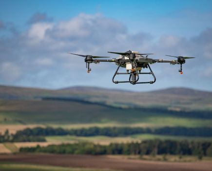
It’s hard to turn a combine without the header hitting six different data collection tools – metaphorically speaking – but Bayer’s FieldView aims to be different. All farm data is brought together in one platform in real-time, which should allow for ‘on the spot’ analysis and informed decision-making.
As no two farms are ever the same, Bayer hosted a webinar to explore how FieldView is being used around the world, explains Bayer’s digital activation manager, Max Dafforn. Three farmers from Canada, the US and UK speak about how they’ve adopted FieldView and the impacts it’s had on their farming systems.
Canada
Farming 890ha of predominantly cereals and oilseeds at North Battleford, Saskatchewan in Canada, Al Heidel started collecting data on his farm in 2005. He used FieldView to bring years of data into one platform and finds it useful to measure both trials and crop performance, keep track of machines and accurately plan his spray timings.
“We used to record everything in a book,” he says. “I started my farming career in 1981 and began collecting data using GPS. It’s made such a difference to the way we do things and has been awesome for how we manage the farm.”
One of Al’s favourite features from his long list of favourites, is being able to see satellite maps so he knows how fast crops are growing, based on growing day degrees. “This indicates when I need to go and check a field,” he says.
He further likes the accessibility of the data. “I’m in the Rocky Mountains right now – where we usually overwinter – and I have all the live farm data with me.”
He can even monitor how much precipitation has fallen on his fields while he’s hundreds of miles away. “I get notifications if it snows so I know how much moisture the farm is getting, which is useful after a really dry year.”
The main thing he uses the platform for is record keeping. “Having everything with me, I can go back over multiple years through the data our equipment generates,” says Al.
He likes to compare machine operations and used FieldView to compare two Case IH combines workings in the same field. Both machines were the same size but one was newer, and he could see it covered more ground over the same period than the older machine, proving that the new machine was capable of doing what the dealer said it would when they sold it to him.
He also finds the live access to machines useful as he can see where the combines are which helps him plan trucks, as well as grain bins on the yard. Knowing which type of bin each load needs to go to depends on moisture content, he adds.
Although FieldView can be used to conduct on farm trials, Al has also managed to use his own error to his advantage, by using the platform to turn it into a trial. “While spraying I missed about 1ha and, though the field was sprayed again eight days later, the weeds had a chance to get bigger before I got to that patch.”
Using FieldView he could see the patch that didn’t get the first spray yielded significantly less than the field average. “The trial wasn’t planned but we turned it into something useful we could learn from.”
Al has also been able to utilise the platform to help with spraying. “I needed to spray a field of canola, so I looked at the wind velocity and forecast that day. There was a south-west wind forecast but when I arrived the wind was from the east, but the forecast came true and the wind moved to a south-westerly. FieldView allowed me to get into the field and spray without drift damaging the adjacent crop,” he explains.
Al’s next step is to start using FieldView for variable rate applications. “I want to build zone maps and I want to see it operate better with the Case IH portal, as I’ve had a few issues with that. But it works seamlessly with other products, such as My John Deere.”
United States
Operating Leffler Farms in the east central part of Kansas in the US, Jacquelyne Leffler grows corn, soya beans, wheat and rears a herd of fat cattle, selling directly to over 600 consumers.
When she returned to the family farm after university in 2013, Jacquelyne wanted to implement a system that could pull all the farm’s data together. “I’d watch my dad and grandpa memorise every single thing, but I grew up a millennial. I didn’t have to have that memory and I couldn’t remember which hybrid was next to which, or what we’d applied, let alone soil types of every field off the top of my head.
“My dad started soil sampling a long time ago and I thought, why aren’t we doing anything with the data?”
After seeing other farmers talking about FieldView on Twitter, she decided to give it a try. “We started backloading all our data from the early 2000s into the programme. I manually used a flash drive to put the data into our desktop and pushed it into our FieldView account,” she explains.
“One time I didn’t have enough broadband width to upload the massive amount of data, so I had to mail the USB to someone with FieldView who had better connectivity to do it for me. But now I basically have decades worth of our farm history in my pocket at all times, and that’s been huge for us.”
Internet connectivity can still be a bit of a tricky issue despite having transferred all the farm’s historic data. “Our farm sits three miles from fibre in every direction and it’s so expensive to get it where we are that we’re basically out of luck,” explains Jacquelyne.
To overcome this she is toying with the idea of getting Elon Musk’s Starlink. “I think it’d make a huge difference to our operation, but at the moment I’m relying on a wire in the ground and when it gets wet, my internet gets really pixelated and I have to wait for everything to load.”
But luckily this hasn’t hindered her use of FieldView. “If we don’t have cell phone reception in a field and lose GPS, FieldView never goes away and when we get back to the farm, all the data from the day magically starts to fill into the maps.
“Even if it doesn’t happen automatically, I can pull out the USB and put that into our desktop to manually push data into our FieldView account,” she says. “It gives me confidence that no matter how bad my service, I’ll be collecting data.”
One of Jacquelyne’s favourite features in FieldView is used for her cattle operation. “I put all our pastures in as fields and then I’m able to map which paddocks are drying up fastest. We rotationally graze our cattle, meaning it helps give me an insight into where to move the cattle next. Some of our pastures are 30-40 miles away, so it saves me wasting a two hour round trip to look at them.”
It’s also helped her identify issues on the farm. “A few years ago a sprayer killed off some of the grass in a paddock and I don’t think I’d have found out as fast if it wasn’t for the satellite imagery,” she says.
“I don’t know if FieldView was intended to be used like this but I like to push the limits of the applications we’re using.”
On one occasion, Jacquelyne was able to use FieldView to demonstrate the benefit of different tillage practices. “We have one landowner who liked to do the groundworks on half of one of his fields as a hobby and we worked the other half. I used FieldView to show him that my half yielded a lot more because of the tillage practice, though I knew from the ride that it had a better structure. But if I’d said that he wouldn’t have believed me – and now we work his entire field.”
She also uses FieldView to educate customers and the public about what it takes to produce food. “I’m really into gadgets, data, pictures and videos and putting them on socials to show customers what it takes to grow our own corn and produce cattle. I can show them tractors moving live through fields and it’s been a cool visual way to show people what we’re doing.”
Looking to the future, Jacquelyne would really like to be able to install a few weather stations on her farm that feed directly into FieldView and have real-time farm weather updates. “That would be a cool feature for record keeping and spraying and would help our decision-making.”
United Kingdom
In the Lincolnshire Wolds, Alex Borthwick grows winter wheat, winter and spring malting barley, oilseed rape, potatoes and sugar beet.
Like Jacquelyne, he heard about FieldView through following American farmers on Twitter. After discussing it with his Bayer field manager, he became one of the first farmers to trial the programme in the UK and has now been using it for almost two years – encompassing three growing seasons.
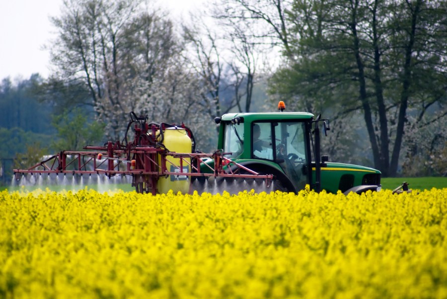
“Initially we just used the data catcher aspect with our sprayers and spreaders to create data from our field operations,” explains Alex.
“From the first harvest we put map layers together and started looking at some fungicide trials with Bayer to see the difference between treatments.”
This has developed and now he mainly uses FieldView to evaluate crop performance. “We’ve quite a big data set now and can look at variations,” he says. “I evaluate different varieties, fungicide treatments and can create reports on work we’ve done for other farmers. But we’re constantly evolving how we use it.”
He particularly likes that, whatever work is done on farm, he has access to it on his phone, iPad or desktop. “It’s the same across all platforms which is key as I’m constantly double-checking application rates, dates or yield history.”
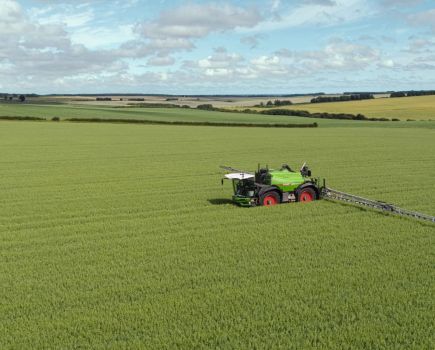
Water usage maps have also been very useful. “With our fungicide trials these have been really interesting as they showed a reduction in water usage when using one SDHI compared with our standard treatment and this correlated to yield,” explains Alex.
This year he’s trying variable rate seeding for the first time and has used some field variation maps – created using FieldView – to make plans. It’s a case of so far so good, according to Alex. “I couldn’t ask for the field to be looking any better.”
Like Al, one of Alex’s favourite features is the remote view. “Being able to view the combine during harvest is really useful as I get an instant feel for how the field is yielding and I don’t have to wait for the end of the day,” he explains.
“I also like the ability to select tramlines, where different applications have gone on, to analyse the different yields without having to hand draw or make a rough guestimate of where the different areas are. That’s probably the biggest and most useful feature for us.”
FieldView has proven invaluable when harvesting OSR. “When we’re harvesting, we’re also trying to buy seed for the next season as well as drilling the crop at around the same time,” says Alex. “So being able to get the data off the combine pretty quickly shows whether a variety has performed for us or not. This helps us commit to the varieties we want to grow, so we can get the crop in the ground straight away.”
He’s even found that his operators get on well with the platform. “Our combine operator is in his mid-60s and he’s embraced it. They’ve all bought into FieldView and it’s key for them to see the data that’s being captured so they can understand what we’re doing and why.”
One hiccough Alex had with FieldView was that his combine didn’t have yield mapping. “We did have to buy a satellite receiver to connect to the combine, but once we had this it was straightforward to set up on a wet morning and took us about an hour to do.”
Alex is hoping to be able to create soil maps using FieldView in the future. “I want to be able to create them and monitor soil health over a long period, then FieldView will be doing pretty much everything I want.”